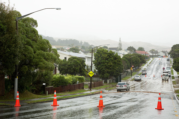
In Auckland, New Zealand, helicopters are flying low over the city to help protect it from future floods. Experts are using special technology called LiDAR, which stands for Light Detection and Ranging, to create detailed maps of rivers and streams. This work is part of the “Making Space for Water” project, launched after major floods in 2023.
The LiDAR sensors, attached to a helicopter, send out laser beams to measure the land below. This helps scientists see changes in the shape of waterways, like where a riverbank might be eroding or where a slip has occurred. These detailed images help city planners understand how water moves through the area during heavy rain.
The data being collected now is much more accurate than older maps. In fact, it’s about 20 times more detailed. The new scans cover 233 square kilometres, including the North Shore, Henderson Creek, Whenuapai, and parts of Pukekohe.
Justin Stout, a scientist from the University of Canterbury, said they’ve used this technology before to study rivers and check for damage after big storms like Cyclone Gabrielle.
Craig Mcilroy, a manager at Auckland Council, said the new maps will help the city deal with climate change and flooding. “It’s a game-changer,” he said, “for keeping the city safe for the future.”


 SMART Prep | Quick Question