
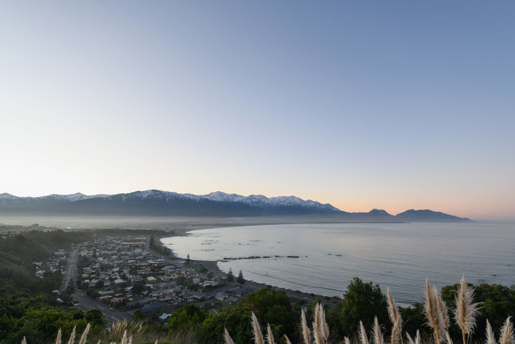

Scientists are using powerful new satellites to better understand how New Zealand’s coastline is changing as the climate warms.
Researchers from Earth Sciences NZ are now using high-resolution images from the European Space Agency to study coastal waters in much greater detail than before. The new technology allows scientists to see changes as close as 50 metres from the shoreline.
By studying the colour of the water, researchers can learn about tiny plant-like organisms called phytoplankton, as well as the amount of sediment flowing into the sea from rivers. These changes can affect marine life and the health of coastal ecosystems.
Scientists say New Zealand’s waters are warming quickly, especially around the North Island and the Tasman Sea. They have already noticed that ocean productivity is changing in different parts of the country, with some areas showing decreases while others are increasing.
Because New Zealand has such a long coastline, it would be impossible to collect enough water samples by hand. Satellites provide a much bigger picture, helping scientists identify which areas need the most attention.

 SMART Prep | Quick Question