New Zealand is experiencing a colder than average start to August.
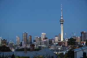
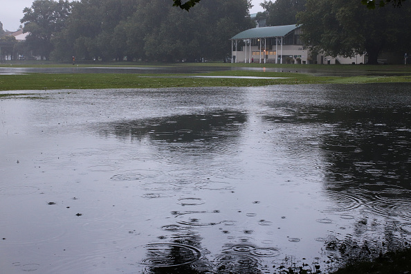
A ridge of high pressure is bringing calm and cool conditions to most of the country, according to MetService. However, the northern regions, including Northland, Auckland, and the Coromandel Peninsula, will see rain due to a low-pressure center.
Meteorologist Alwyn Bakker explained that Northland and possibly Auckland and the Coromandel will have strong winds and wet weather for the next few days. He advised people to watch for severe weather updates.
The high-pressure ridge will result in clear skies and frosty mornings, with many areas experiencing colder than usual overnight temperatures. Nearly all main centers on the South Island will have sub-zero nights, except for Dunedin and Westport. Kaikōura is expected to be particularly cold, dropping to -2°C, which is eight degrees below the average for this time of year.
In the North Island, it will be slightly warmer, but most places south of Auckland will still see low single-digit temperatures at night.
Bakker warned drivers to be cautious as icy road conditions may persist longer due to the low temperatures.
The ridge is expected to move away by the end of the weekend, with rain approaching the South Island from the west. The low-pressure system affecting the upper North Island will gradually shift east, with its exact path yet to be confirmed. Keep updated with the latest weather advice.


 SMART Prep | Quick Question