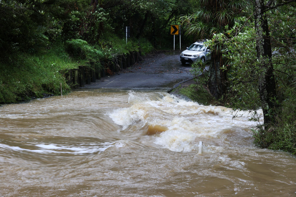
A deepening low-pressure system is expected to swing back towards New Zealand’s east coast from Sunday into Monday, bringing heavy rain, strong winds, and rough seas.
MetService has issued orange-level warnings from Gisborne down to northern Canterbury, with the worst conditions expected overnight Sunday into Monday.
Heavy rain could cause flooding, slips, and fast-rising rivers in several places, including parts of Gisborne/Tairāwhiti, Hawke’s Bay, inland Whanganui, Manawatū, Wairarapa, the Tararua area, Kaikōura, and northern Canterbury. Strong wind warnings also cover parts of Gisborne, Hawke’s Bay, Wellington, Wairarapa, the Tararua District, and eastern Marlborough, with severe gales likely at times.
MetService also warned of large waves and hazardous seas, and said coastal flooding could happen along exposed shorelines. Heavy rain watches include parts of Hawke’s Bay outside the warning zones, Wellington away from the eastern hills, and Banks Peninsula, where wet weather could last into Tuesday.
Meanwhile, a State of Emergency has been declared for the Waipā and Ōtorohanga District after severe weather caused flooding, slips, and damage from Friday into Saturday. Around 80 people were evacuated, with many staying at Te Kotahitanga Marae.
Forecasters expect conditions to ease later on Monday.


